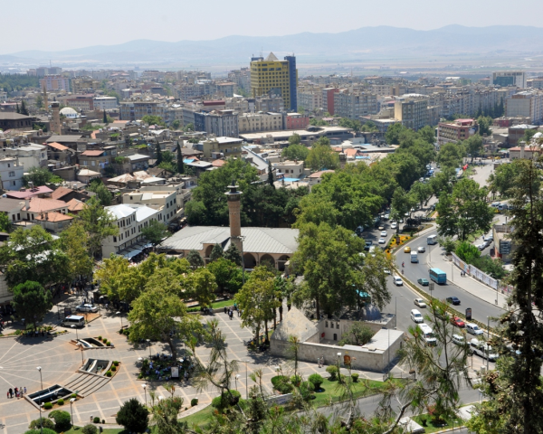
K.MARAŞ
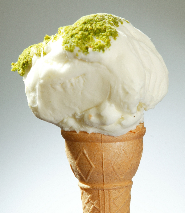
Kahramanmaraş in the Eastern Mediterranean has an important potential for alternative tourism with Başkonuş and Yavşan plateaus, Kapıçam Nature Park, Körçoban Nature Reserve, caves, dams, streams, lakes, mountains, Germanicia Mosaics, Eshab-i Keyf Complexes, castles, historic mosques and bazaars, traditional handcrafts, regional cuisine and its geographically indicated values such as tarhana, chili flake and ice cream. Although it is located in the Mediterranean climate zone, it forms a border with the Central Anatolian and Eastern Anatolia climate zones. Due its distance to the sea and altitude, a modified and terrestrial Mediterranean climate is dominant. It is cooler than our southern provinces. Berit, Engizek, Binboğa, Mount Nur and Mount Ahır are the major elevations. Elbistan, Göksun and Kahramanmaraş Plains are important plains of the province. Ceyhan River is born within the provincial borders. It is rich in terms of streams and springs.
TRANSPORTATION
You can reach Kahramanmaraş by road and airway.
Popular Destinations
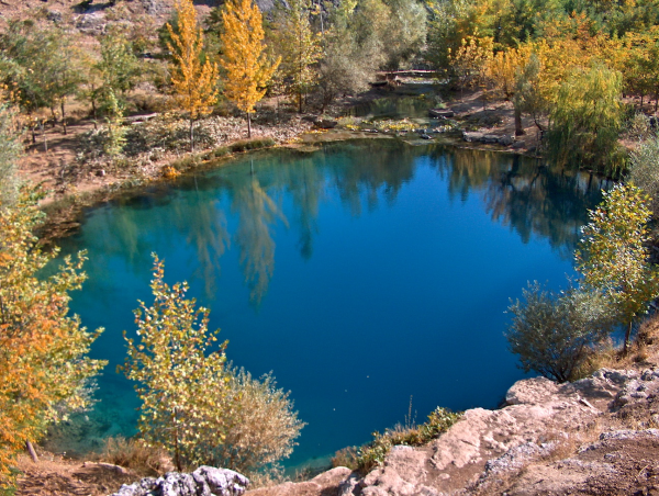
Fırnız Recreation Area
Fırnız Recreation Area is a green area is a natural wonder where natural beauties of Kahramanmaraş are located and where you can have a wonderful time.
Tekir Recreation Area
Tekir Recreation Area is a wonder of nature hidden inside the pine forests, surrounded by Döngel Cave in Kahramanmaraş. Since there are many facilities, you can enjoy both nature and delicious tastes.
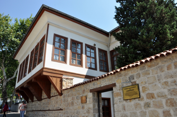
Eshab-ı Keyf Complexes
This complex, located at the borders of Afşin District, is a building that was dedicated to seven friends. This complex was built by Theodoius II. It is a historical building that has been preserving its existence for many years.


 Arapça
 Türkçe


